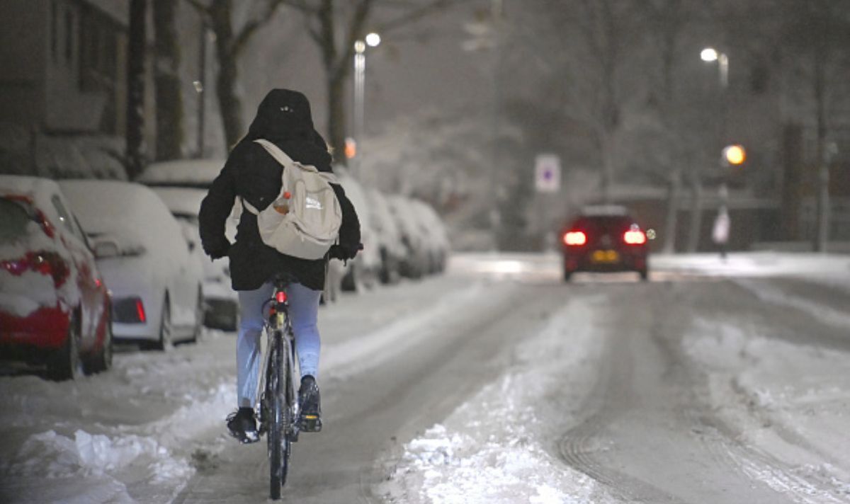
Weather: Met Office forecasts snow in the week ahead
We use your sign-up to provide content in ways you’ve consented to and to improve our understanding of you. This may include adverts from us and 3rd parties based on our understanding. You can unsubscribe at any time. More info
People are expected to reach once again for the thermostat in the coming days as temperatures plummet and the chances of snow increase. The Met Office has listed a whole host of weather conditions for next week – with ice, sleet and overnight frosts on the cards. Forecasters also say wintry showers could even reach the far corners of the south-east – locations that usually miss out on a dusting except for in extreme circumstances. But – will this latest freeze go on for the rest of the month? Predictions currently show the plunging mercury could hang around for up to a week.
In its long-range forecast, which is updated daily, the Met Office earmarks Tuesday, January 17 as a day of note – purely because radars show snow reaching nearly every part of the nation.
Looking from Tuesday to January 26 it says: “Tuesday will see a continuation of sunny spells and wintry showers in many central and northern areas, with an area of rain, sleet and snow perhaps affecting some southern Britain for a time.
“Windy in the southwest with a chance of gales here. Further into the week colder conditions than of late are expected to continue, with overnight frost and some further wintry showers and ice.
“However, with time, there are signs that it will turn milder again as weather systems run in from the west, bringing further rain, especially to the west and northwest, and perhaps preceded by snow initially, along with the potential for strong winds or gales at times. By the end of the period, pressure may build towards the southeast.”


Tony Zartman a senior meteorologist at Accuweather told Express.co.uk: “As far as snow potential, the greatest chance for accumulating snow will be across Scotland, Northern Ireland and northern parts of England, even at lower elevations.
“Across the south, it is not out of the question that precipitation can be wintry at times. However, there are still uncertainties and timing issues this far in advance.
“But, the overall takeaway is that we are heading toward a period of colder weather next week with the opportunity at least for some wintry precipitation.
“The exact locations and amounts still need to be worked out in the coming days. There are then indications that some milder air may try and make a return starting as early as next weekend.”


Jim Dale, a senior meteorologist for British Weather Services also described next week’s freeze, which comes from Scandinavia as “transient” but said winter was far from over.
Brian Gaze, from the Weather Outlook, said in his round-up that the snow’s far reaching tendencies next week stem from the fact most regions are forecast rain, which could come down as sleet or snow on low levels.
But it’ll be over high ground where the highest accumulation levels are due. Looking further ahead towards the end of the month, the Met Office says it cannot rule out the chances of more snow. But with weather events more than seven days away, its confidence “remains low.”
From January 27 to February 9 it continues: “The end of January may see more settled conditions, particularly across the south, with spells of strong winds and rain confined to northern areas for a time.
“Into the start of February, confidence is markedly low. A return to unsettled conditions is most likely, with further spells of strong winds and rain for all areas. Temperatures generally mild, although some colder interludes likely, bringing wintry conditions at times.”
Starting from next Monday temperatures will start of at 0C in the south, and -4C in Scotland by midday. According to WXCHARTS, an interactive weather model, this cold theme will be in place until at least January 22.
But there will be some light relief on its way, especially for those who are trying their best to be conservative with heating and energy usage. Come Monday, January 23 temperatures may spring up a little – but the last week of January will be a bumpy one.
Temperatures will hover between 1C and 6C depending on location, before a potential second cold snap on January 28. At the moment, data only goes up to midnight on this date where the mercury is predicted to sit at 2C in the south an -1C in Scotland.
Source: Read Full Article


