National weather forecast for June 18
Janice Dean has your FoxCast.
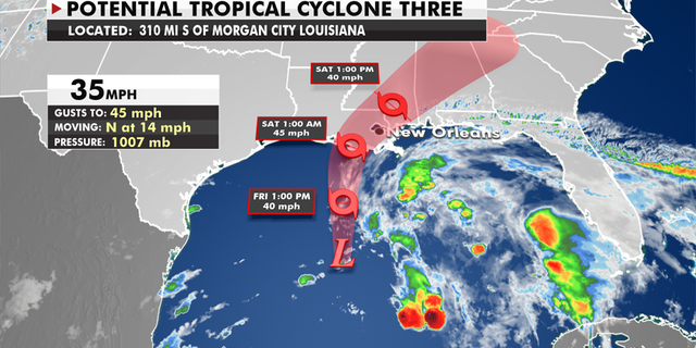
A disturbance in the southwestern Gulf of Mexico is becoming better organized and will likely evolve into a tropical or subtropical depression on Friday.
CALIFORNIA GOV. NEWSOM DECLARES STATE OF EMERGENCY AMID EXTREME HEAT
The official forecast brings the center of the system near the central Louisiana coastline overnight on Friday and into early Saturday morning as a weak tropical or subtropical storm.
Potential tropical cyclone three
(Credit: Fox News)
Tropical storm warnings are now in effect from Intracoastal City, Louisiana, to the Florida-Alabama state line, including Lake Pontchartrain and New Orleans metro area.
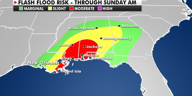
Flash flood risk through Sunday morning in the Southeast
(Credit: Fox News)
While wind gusts up to 60 mph may be possible, heavy rain and flooding are the primary concerns for this system – not only along the coast but across the Southeast beginning Friday and lasting through the weekend.
A general 4-8 inches is likely across the region with isolated totals of more than 12 inches possible.
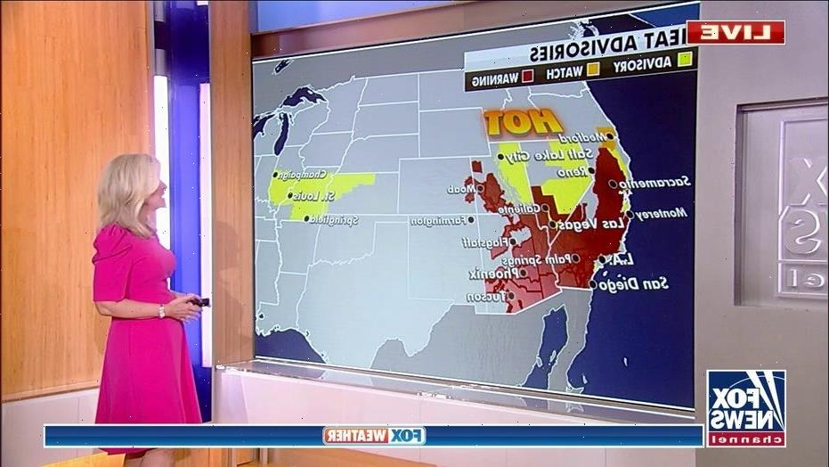
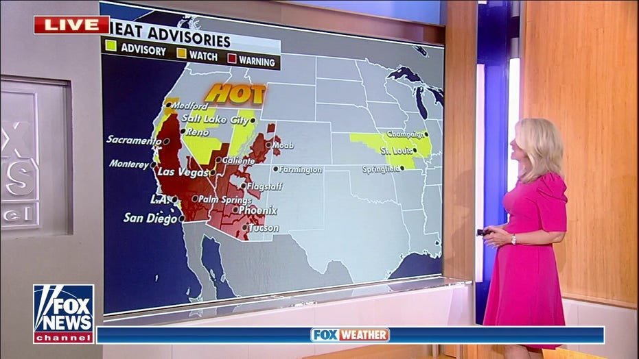
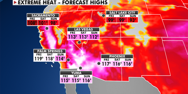
Extreme heat in the western U.S.
(Credit: Fox News)
Excessive heat warnings and heat advisories remain widespread across California, Nevada, Utah and Arizona as highs climb into the 90s, 100s and upper 110s.
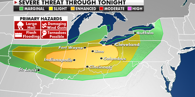
Severe weather threat across the Ohio Valley
(Credit: Fox News)
High pressure will also bring hot temperatures to the Central and Southern Plains through Friday.
CLICK HERE FOR THE FOX NEWS APP
Strong to severe thunderstorms will also be possible across the Ohio Valley with frequent lightning, strong winds, hail and a few tornadoes.
Source: Read Full Article
