Temperatures are starting to dive as the polar blast touches down bringing snow to sea level in parts of the south, huge seas and gales laced with a bitterly cold -20C windchill.
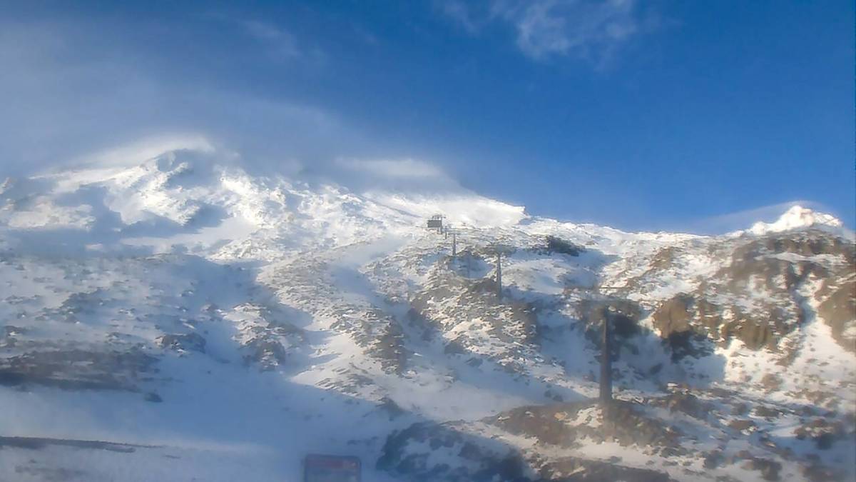
An enormous cold air mass straight off the Antarctic ice shelf is now hitting parts of the South Island with snow expected down to 100m in southernmost regions.
Forecasters say the cold front will sweep northwards up the country during Monday, opening the freezer door to all of New Zealand.
Niwa Weather says there is even the likelihood those in the south will see temperaturesplummet to an icy -20C thanks to a “brutal” wind chill adding an icy sting during this week’s polar blast.
MetService is warning the severe gales bringing bitterly cold conditions across much of the South Island will cause stress to livestock, and thick settling snow expected to make driving hazardous.
Cold sleety rain is starting to fall in southern regions with heavy snow forecast to fall in Southland and Central Otago.
MetService has issued a swathe of storm warnings affecting most of the South Island, and eastern regions of the North Island.
Road snowfall warnings are now in effect on all alpine passes with up to 8cm of snow expected to fall on worst affected areas.
A warning comes into effect for the Dunedin to Waitati highway in Otago after lunch.
A heavy swell warning has also been issued for Wellington’s coastline with 6m swells expected to batter the southern coast from Tuesday morning through to Thursday.
/cloudfront-ap-southeast-2.images.arcpublishing.com/nzme/LA4AVW6C7LUYX2BOXUN3FF7YBI.jpg)
People who live in the affected area are being warned the worst is when the swells coincide with high tide.
MetService has also issued a warning about the severe gales expected to bring bitterly cold conditions across much of the South Island causing stress to livestock, and with snowforecast to affect many South Island roads and passes driving expected to be hazardous.
MetService is warning heavy swells will cause problems around many coasts over the next few days.
Niwa principal scientist Chris Brandolino told The AM Show it would be a “big punch of cold air” from the heart of the ice continent with the South Island bearing the brunt of the storm.
He described the wind chill factor as “brutal” with the temperatures starting to dive into negative territory from after lunch.
Even the capital city would experience negative wind chill of -5C tomorrow on the back ofstrong gales.
The coldest weather would be experienced tomorrow in the south but even on Wednesday frosts would hit Auckland.
Source: Read Full Article


