A giant low fueled by an atmospheric river of moisture is set to envelop New Zealand this weekend delivering a volatile cocktail of thunderstorms, heavy rain, strong winds and snow.
Parts of the South Island are starting to feel its effect with icy roads turning treacherous as rain starts falling.
While the heaviest falls are reserved for eastern regions of the South Island, squally thunderstorms are set to unleash over Taranaki to Waikato and Bay of Plenty north.
Niwa says the giant Tasman low may even tap into moisture from a sub-tropical low. This would mean a moisture plume might extend from the tropics to Canterbury this weekend.
MetService says the incoming low will make its presence known on Saturday.
“There is still some uncertainty regarding exactly where the heaviest falls will be, but nonetheless this will likely be a significant event for some.” said MetService on its Facebook page.
Niwa is warning Canterbury could be at risk of flooding with heavy rain falling on cracked, dry land.
It says a significant rain event was likely from Saturday through to Monday fueled by an “atmospheric river of moisture”.
Brief rain is expected today as a front moves across the country but MetService says the worst weather is due to hit tomorrow.
MetService says rain will start falling over the North Island with heavy falls and possible squally thunderstorms for Taranaki to Waikato and Bay of Plenty northwards.
Virtually all of the South Island will be under a cloud, save southern Westland and Fiordland. By Sunday heavy rain will fall as snow on the Southern Alps.
Road snowfall warnings for several southern passes have been issued with up to 2cm of snow expected to settle this morning.
This morning Waimakariri District Council warned motorists of icy conditions on the region’s roads.
While grit trucks were out on the roads with rain starting to fall motorists were being advised to expect conditions to remain slippery for much of the morning.
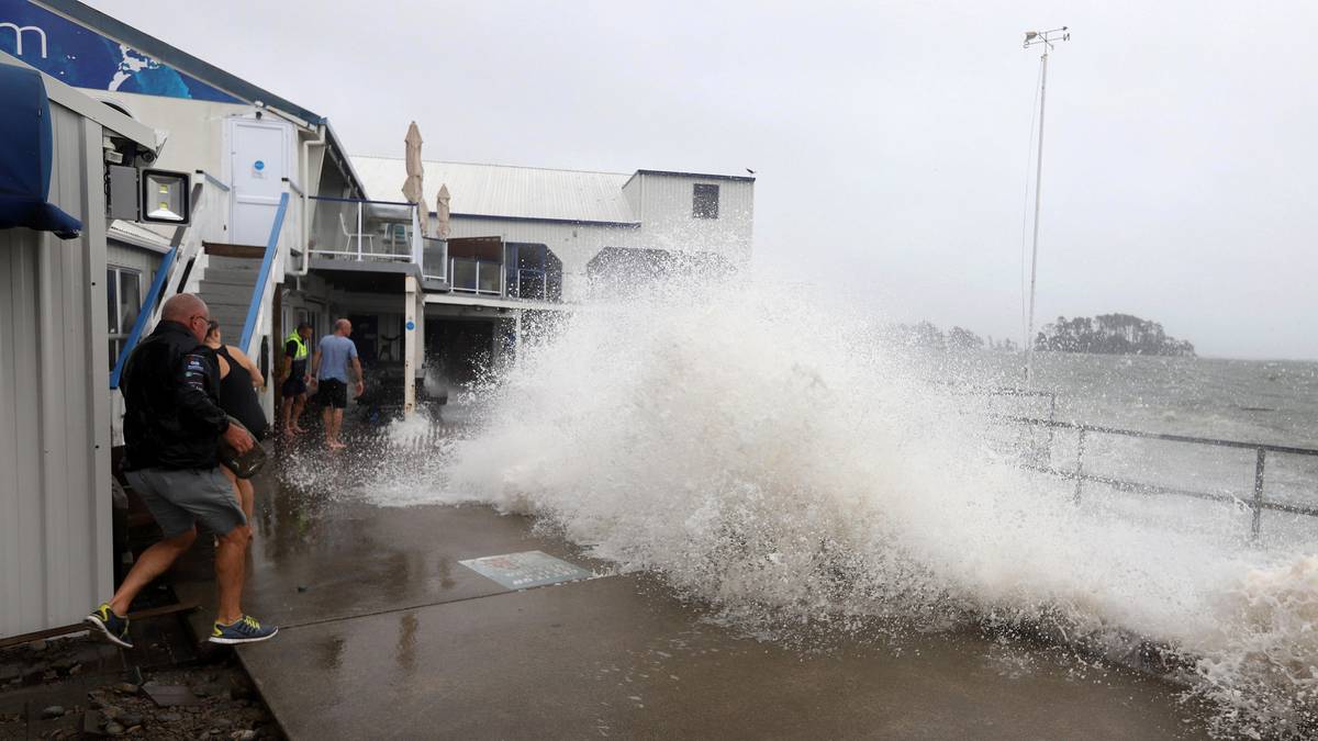
Meanwhile a heavy swell forecast remains in place for Hawke’s Bay until tonight and for Gisborne tomorrow morning.
King tides were also expected to start easing over the weekend.
This week contractors and staff have had to tidy up debris and reclaim beaches swept away by a damaging storm surge off the east coast of the North Island.
On the Coromandel, Civil Defence controller Garry Towler said things would remain much the same with the tides and weather heading into the weekend with added rain arriving on Saturday afternoon. While they had been advised there should not be any significant impacts, there was still a risk high tides might back up water courses in low lying areas.
“By Sunday we should see things starting to calm down somewhat but until then stay safe and stay tuned in to our council’s information channels.”
Source: Read Full Article


