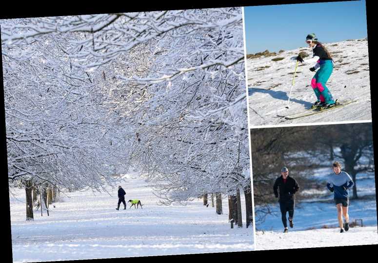
BRITS are braced for another four inches of "severe" snow today as January's deep freeze continues.
It comes after the UK saw its snowiest spell in two years with almost seven inches dumped in some parts of the country overnight on Sunday.
⚡ Read our UK weather live blog for the very latest news and forecasts.


Yellow weather warnings for snow or ice were slapped across large parts of Britain until this morning, with the mercury plummeting to zero in Cardiff, Manchester and Birmingham.
Parts of northern England and southern Scotland are set for a winter whiteout with more than three inches of snow from late Tuesday morning.
Durham, Northumberland, Cumbria, Lancashire and North Yorkshire are among the areas in England due to be hit with a wintry downpour.
And up to four inches are predicted to fall across the southern Grampian mountains.
FLOOD WARNINGS
Pedestrians were warned of injuries from slips on icy surfaces and drivers told to beware travel chaos on frozen roads.
Met Office spokesman Oli Claydon said the current wintry snap was the "snowiest spell" the UK had experienced since late January 2019.
And worse is set to come, with heavy rain and 40mph winds tipped to batter the south-west of England and Wales from Wednesday before the bad weather moves east into Thursday.
Predicted torrential downpours have led to more than 80 flood alerts and warnings being placed across England on Tuesday.
Mr Claydon said: "Everywhere will likely see rain over the next week, as it moves west to east.


"Weather systems will pass over pretty much everywhere over the UK.
"With lots of the UK already saturated from the heavy rainfall we have seen last week, it doesn't take much for it to tip the balance and provide another flood risk."
London and Belfast are set to shiver in temperatures of just 1C today, withNewcastle, Sheffield and Glasgow enduring a bitter 2C.
Wales saw its coldest night of the year so far as the temperature dropped to-9.7C at Sennybridge in Powys on Sunday night.
With lots of the UK already saturated from the heavy rainfall we have seen last week, it doesn't take much for it to tip the balance and provide another flood risk
The coldest temperature in the UK was at Katesbridge in County Down, Northern Ireland, where the thermometer sunk to- 10.4C.
TV presenter Ben Fogle was among those braving the elements as he went for a run in the blast in just his shorts.
The topless adventurer, 47, was pictured jogging along a snowy lane.
He wrote online: “Cold is all in the brain. Embrace the chill.”


But milder weather could bring a greater risk of flooding in southern parts by the end of the week, the Met Office has warned.
It comes after the UK was battered by Storm Christoph last week.
Areas across northern, central England and Wales, including towns and villages along the River Severn, suffered severe flooding as Christoph lashed the country.
On Sunday, London saw flurries of snow as the capital enjoyed a winter wonderland.
Woolly-wearing walkers were seen at Hampstead Heath, Primrose Hill, Richmond Park and other beauty spots in their droves.
Pictures show crowds of people congregating on top of Primrose Hill, with thick, white flakes covering the ground.
Flakes fell across the rest of the UK yesterday too, with snow forecast to grip the nation until at least Wednesday.


Source: Read Full Article


