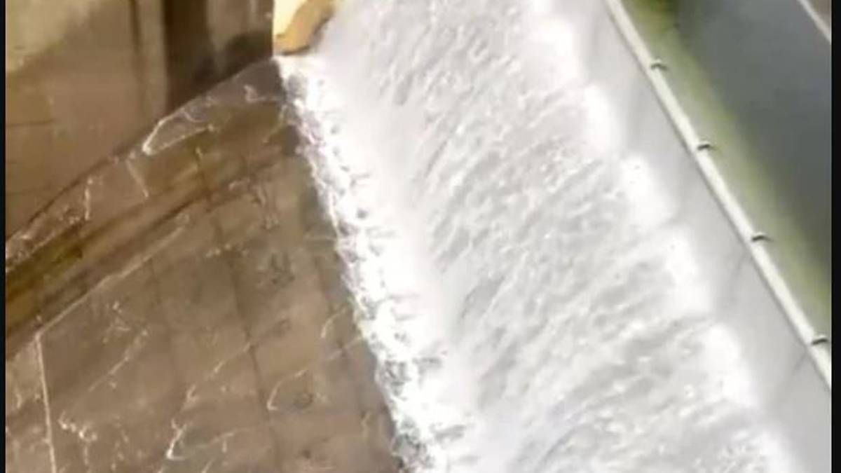
Sydney’s Warragamba Dam has reached capacity and began spilling on Saturday, with other dams also expected to overflow.
Earlier the Bureau of Meteorology (BOM) predicted the dam was expected to spill and that parts of western Sydney were at risk of flooding.
The dam had been at 99.2 per cent capacity earlier on Saturday and heavy rainfall was expected overnight.
WaterNSW media adviser Benjamin Ansell told news.com.au that the dam began spilling about 3pm on Saturday.
Footage posted on social media shows water being released.
Read more
• $160m a year: Sweeping new assessment of NZ’s big flood threat
• Watch: House swept away in floodwaters as wild weather hammers Australia’s east coast
• Napier flood indirectly linked to atmospheric river phenomena
• Once-in-500-year storm floods Northland, traps residents
“With heavy rainfall persisting, we are also expecting to see spills at Nepean, Cataract, Cordeaux and Avon dams,” WaterNSW said on its Twitter account.
BOM flood operations specialist Justin Robinson told reporters that waters from the spill would combine with river flows from the Upper Nepean and also the Grose River, as well as local tributaries including South Creek.
NSW Premier Gladys Berejiklian said emergency services were preparing for either a one-in-five, one-in-10 or one-in-20 year event.
She has asked residents in the catchment area to be on high alert and to monitor websites in case they were asked to evacuate.
“The window for evacuation is often not a big one depending on where you live.”
Berejiklian said the SES was doing its best to predict what may happen in the next hours and was trying to avoid people being evacuated at night.
Robinson said the exact timing of the dam spill would depend on which areas of the catchment received the heaviest rainfall and what time they receive that rainfall.
He said there could be some minor flooding at Penrith and North Richmond later on Saturday and some moderate flooding may develop later today and overnight.
“Our current expectations were around the moderate level but we’re definitely highlighting to the community that major flooding is possible.
“For those people in the Greater Sydney area, I think that the area of most concern, both to the Bureau and those impacted communities is the potential for very significant flooding across the Hawkesbury-Nepean River.”
Robinson said there was concerns for all suburbs along the Nepean River but in particular Penrith and Windsor can get very deep levels of flooding.
“The Bureau issued a flood warning this morning and that was updated just a few minutes ago. And the current warning is basically suggesting that we possibly might see moderate to major flooding.
“It’s still early days because it really depends upon how that rainfall unfolds over the next 24 hours.
“But looking at our current forecast, we’re thinking that it might be similar to the February 2020 event, which had very significant impacts on the community, especially at those two bridges, the North Richmond and Windsor.
“I want to just emphasise to the public – you need to keep across the current warnings and also the messages from the emergency services.”
Robinson said Warragamba Dam, which supplies water for 5 million people living in Sydney and the lower Blue Mountains, had also spilled previously in 2013 and 2016 but the last significant spill was in August 1990.
It is located about 65km west of Sydney, and stores about 80 per cent of the city’s water.
The dam was created by damming Warragamba River and flooding the Burragorang Valley, and is four times the size of Sydney Harbour.
Between 1998 and 2002, the dam was upgraded to increase its capacity, including the construction of an auxiliary spillway.
On its website, WaterNSW explains the measures in place during an extreme flood event.
“Five erodible earth and rockfill embankments called ‘fuse plugs’, constructed across the upstream crest of the auxiliary spillway, would progressively wash away (or ‘trigger’) when overtopped by the rising floodwaters,” the website says.
“The fuse plugs are approximately 14m high and the crests are set at different levels so the embankments trigger at different flood levels.
“As each fuse plug progressively washes away, the capacity of the auxiliary spillway increases to pass the incoming floodwaters.”
A BOM spokeswoman said Saturday would definitely be the wettest day in Sydney but wet conditions were expected to continue on Sunday.
The rain should then shift to the lower Blue Mountains and highlands of the Illawarra, with rainfall expected over the Riverina on Sunday and inland areas on Monday and Tuesday.
Sydneysiders have been advised to stay home this weekend and the Parramatta River is already overflowing, with people taking to social media to share photos of flooding.
Source: Read Full Article

/cloudfront-ap-southeast-2.images.arcpublishing.com/nzme/ASSFG5KH5GU36TBSQN4CKVQ5YM.jpg)


