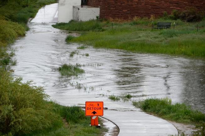
It’s not uncommon for tropical moisture to reach Colorado, but for the state to receive moisture from a former hurricane, that is much more rare. Colorado will soon see moisture from what was Hurricane Nora and flash flood watches are already in effect for parts of the state.
What was formerly known as Hurricane Nora is now just an area of deep tropical moisture. Thanks to the upper level patterns of the atmosphere, that moisture will soon be headed our way. As it travels from the desert southwest to the state, the system will bring major flooding concerns to the Four Corners region. California and Arizona have already had flash flood warnings earlier in the week, and as of Wednesday morning, flash flood watches were issued in Colorado.

For Wednesday, the San Juans of Colorado will begin to see heavy rain move in and that heavy rain will push across the Western Slope throughout the day. The system will be slow-moving, which will enhance flooding concerns as the storms will move slowly too. A large amount of rain could fall in a short amount of time, leading to big concerns of not only flooding, but mudslides as well.
All mountain areas have the threat of rain throughout the day on Wednesday with the high flood threat occurring around burn scars and in slot canyons, especially in the afternoon. For the Western areas of Colorado, Wednesday will be the day with the best chance of seeing rain.
On Thursday, this moisture begins to move into the Front Range, bringing the I-25 corridor some much-needed rain. Drought has been slowly inching its way back to the Front Range for a couple of weeks now. Showers and a few storms will roll across the area through the day on Thursday with lingering moisture lasting until Friday. Overall, not a huge amount of rain is forecasted for the urban corridor, so flooding won’t be much of a concern. The Foothills and Front Range may encounter some issues depending on where those heavy downpours set up.
Most areas of Colorado were running a deficit of more than 50 percent of normal for the month of August so this rain is a welcome sight. Showers and storms may linger across the state through the weekend, but overall, it will be quieter across the state. Longer range forecast models are showing more active weather across the state next week.
Along with the rain, cloud cover will also bring cooler temperatures to the region. Temperatures across the state will fall to below normal values, giving a nice reprieve to the intense heat we’ve had. This weather will also help push out some of the California wildfire smoke and diminish Colorado’s fire potential.
Source: Read Full Article


